Near Hilton Harbor in Waikiki. ワイキキ

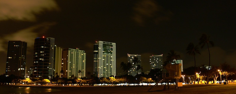
Ala Moana アラモアナ


Best of the Day. 今日一番の写真。

 A deep convective cloud developed in windward side of Oahu this afternoon. The nearly stationary low far north of Hawaii has been settled for several days due to the upper-level blocking, destabilizing the atmosphere over Hawaiian islands. The CAPE was about 2000 in Lihue, Kauai station. The moist southerly flow was lifted up by Koolau mountain range, causing cumulonimbus over NE-facing shore.
  Two convective cells developed in windward side in early night after the first convective cell was dissipated.


